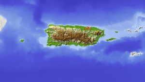
Esri has deployed the CrowdRescue Puerto Rico Infrastructure Map, which displays crowdsourced reports about damage from Hurricane Maria affecting the U.S. territory. The map enables a visualization of closed roads, collapsed bridges, flooding, mudslides, areas where communication is unavailable, areas that don’t have power, areas without drinking water, and areas with downed power lines.
Stay Connected

